18 kms north of Elliot Lake, Ontario: Direct Access off Highway 639
Target
Cu
Area
6.64 sq.km.
Ownership
100%
Overview
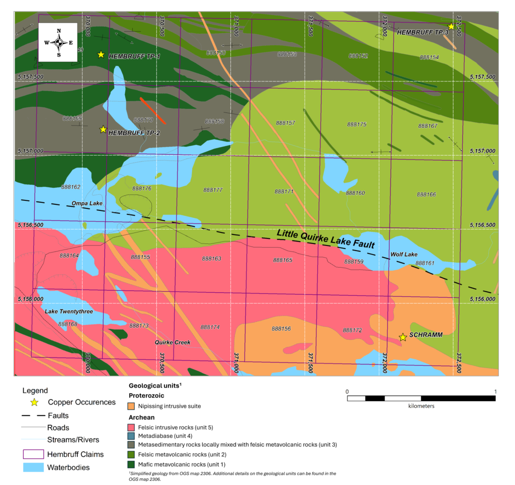
The Hembruff Copper property consists of 30 mining claims over 6.64 sq.km. and has direct access via highway 639. The land position covers four historical copper occurrences located in a sliver of Archean basement exposed between the geological formations of the Southern Province in Ontario. The southern part of the property covers the Little Quirke Lake Fault active during the deposition of the sedimentary rocks of the Huronian Supergroup. These faults could have been a pathway for the circulation of hydrothermal fluids and favor the formation of copper mineralization.
In the Geoscience Report 129, the Ontario Geological Survey reports that copper mineralization preferentially occurs at the contacts between mafic and felsic volcanic rocks where massive sulfide mineralization is typically expected to occur. Geoscience Report 129 also indicates that the mineralogy of the occurrences, comprised on pyrite, pyrrhotite and chalcopyrite, is supporting a possible association with massive sulfide deposits.